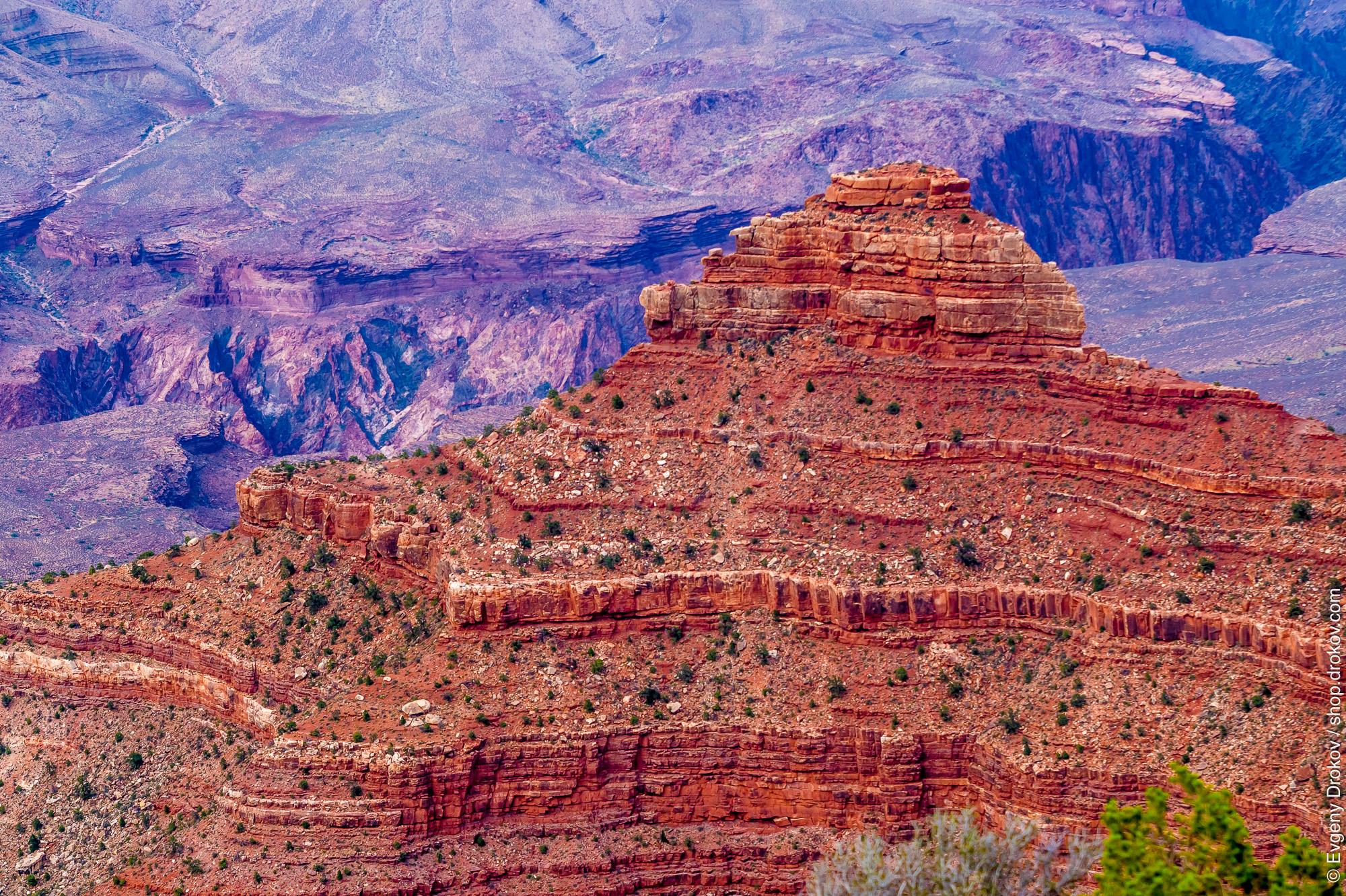
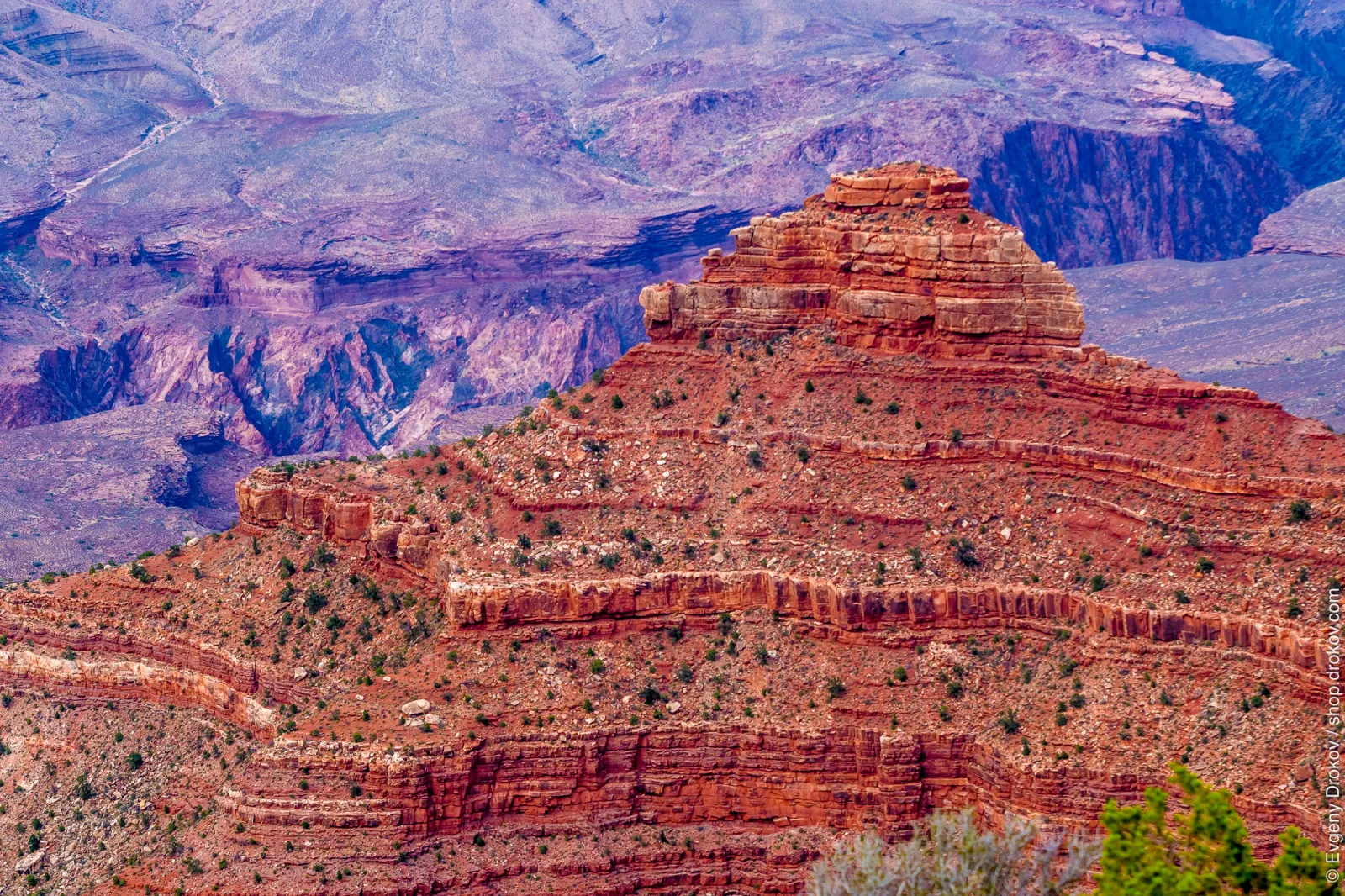
Canyon Layers
This is a view of the Grand Canyon from Mather Point in August 2014. The layered rock formations showcase millions of years of geological history, a testament to the immense power of erosion.
Order Print
Loading sizes...
Details
Camera & Exposure
- Camera
- SONY ILCA-77M2
- Lens
- 70-200mm F2.8
- Aperture
- 5/1
- Shutter
- 1/125
- Focal Length
- 700/10
- Flash
- 16
- White Balance
- 1
- Exposure Program
- 1
- Metering
- 5
Image
- Dimensions
- 2000 × 1333 px
- Date Taken
- August 12, 2014 at 3:07 AM
- GPS
- 36°3'38.6"N 112°6'28.1"W
Keywords
Aerial photography
Arch
Arizona
august
Badlands
Batholith
Bedrock
Butte
canyon
Chasms
Cliff
cliffs
Cuts
Desert
Ecoregion
erosion
Escarpment
Fault
Fell
Formation
Geological phenomenon
geology
Gorge
grand
grand canyon
hill
Historic site
Intrusion
landscape
layered rock
Makhtesh
Massif
mountain
Mountain range
Mountainous landforms
national
National monument
Natural landscape
nature
Outcrop
outdoors
overlook
park
pattern
plant
Plateau
Ravine
red rock
Ridge
rock
rock formations
rocky
sandstone
Scarp
scenic
Shrubbery
sky
states
Stratification
summer
Summit
sunset
Terraces
Topography
tourism
travel
tree
trees
united
united states
united states of america
usa
vacation
valley
vastness
view
Wadi
wilderness
world
IPTC Metadata
Location
- City
- Grand Canyon Village
- State/Province
- Arizona
- Country
- USA
- Location
- Grand Canyon National Park, Math
Credits
- Author
- Evgeny Drokov
- Title
- Freelance photographer
- Copyright
- (c) 2014 Evgeny Drokov
Content
- Headline
- Canyon Layers
- Title
- Canyon Layers
No comments yet.