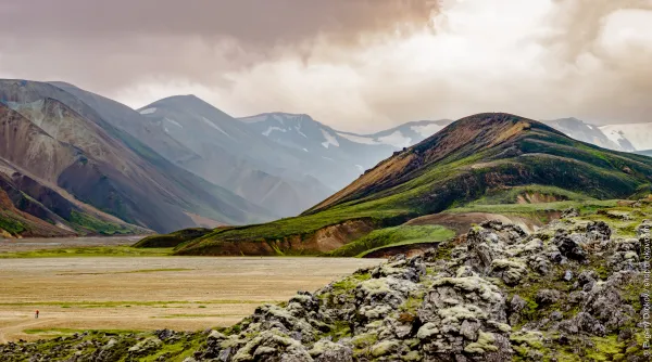
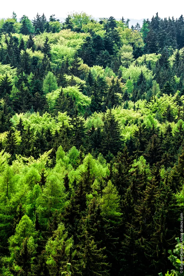
Cookie Control

This site uses cookies to store information on your computer.

Some cookies on this site are essential, and the site won't work as expected without them. These cookies are set when you submit a form, login or interact with the site by doing something that goes beyond clicking on simple links.

We also use some non-essential cookies to anonymously track visitors or enhance your experience of the site. If you're not happy with this, we won't set these cookies but some nice features of the site may be unavailable.

(One cookie will be set to store your preference)
(Ticking this sets a cookie to hide this popup if you then hit close. This will not store any personal information)

About this tool

About Cookie Control

Americas

Alt

The Americas (also collectively called America) is a landmass comprising the totality of North and South America. The Americas make up most of the land in Earth's Western Hemisphere and comprise the New World.

Along with their associated islands, the Americas cover 8% of Earth's total surface area and 28.4% of its land area. The topography is dominated by the American Cordillera, a long chain of mountains that runs the length of the west coast. The flatter eastern side of the Americas is dominated by large river basins, such as the Amazon, St. Lawrence River–Great Lakes basin, Mississippi, and La Plata. Since the Americas extend 14,000 km (8,700 mi) from north to south, the climate and ecology vary widely, from the arctic tundra of Northern Canada, Greenland, and Alaska, to the tropical rain forests in Central America and South America.

All galleries listed below are shot in Americas.

Images from galleries after 2006 are available in high resolution. Contact me if you like to license any of the images. The private use is free for everyone. Visit shop.drokov.com to order high quality prints.

Countries

Regions

Cities